In this corner of southern Maine, place names are sedimentary layers, each revealing how New England evolved: Indigenous landscapes beneath English settlements, working harbors beneath Victorian colonies and artists’ enclaves, and modern tourism layered over them all. What looks like timeless charm is actually a living palimpsest.
Kennebunkport
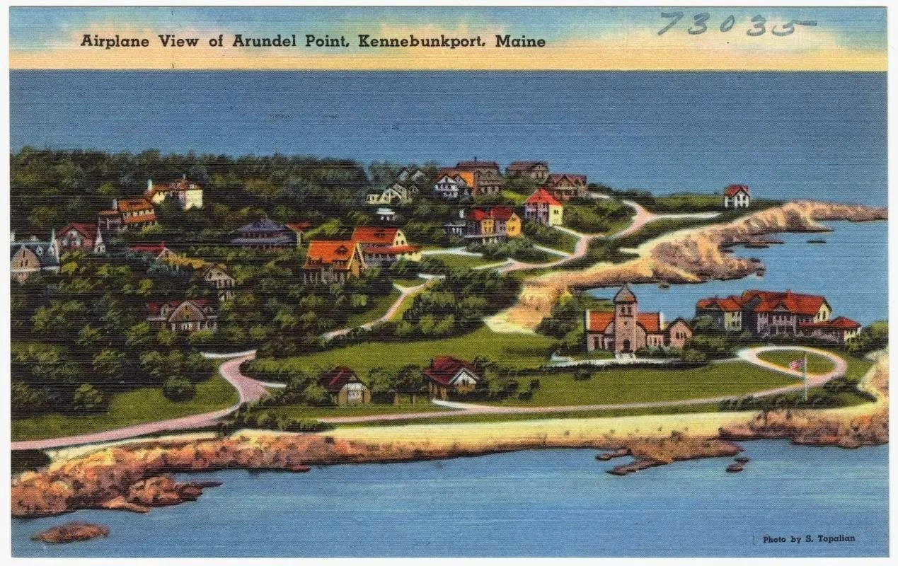
Few names illustrate that fluidity better than Kennebunkport. The area began as Cape Porpus (or Porpoise) in the 17th century, named for the harbor’s leaping marine life. In 1719 it was reincorporated as Arundel, after the English town in West Sussex—a deliberate echo of the Old World. By 1821 it had become Kennebunkport, grafting an Indigenous river name onto its maritime identity.
The maritime village later reinvented itself as a Victorian summer colony. Wealthy families built grand but understated shingled “cottages” along Cape Arundel and Ocean Avenue—less transplanted castles than distinctly American compounds of weathered wood, wide porches, and quiet generational wealth. Today the past isn’t cordoned off in museums. It lives in the rocky coves, narrow lanes, and historic homes that still overlook the water. Kennebunkport provides a temporary pass into a bygone America when a privileged few created their own seaside kingdoms along Maine’s rugged coastline.
Ogunquit
Ogunquit took a different route. Its name is purely Indigenous, and its modern identity was never anchored to an English transplant. Instead, the town was rediscovered in waves: first by artists captivated by its dramatic cliffs and luminous light, later by LGBTQ+ visitors who helped turn it into one of New England’s most welcoming destinations.
That artistic spirit took root in Perkins Cove, a former fishing hamlet that transformed into a thriving artists’ colony in the late 19th and early 20th centuries. Painters like Charles Woodbury drew students and peers to its picturesque harbor, fish shacks, and rugged shoreline. The cove’s iconic drawbridge and cluster of galleries, studios, and seafood spots still carry echoes of that creative boom.
This same openness is embodied in the Marginal Way. Created in the 1920s and named for the “margin” of the sea, this mile-long, car-free path clings to the coastline from the village to Perkins Cove, offering sweeping views of some of Maine’s most expensive oceanfront property. In an age when so much shoreline was privatized or paved, Ogunquit kept this ribbon of land public—a shared promenade open to everyone.